After more than a decade closed by wildfire damage, a well-known Big Sur route will reopen to the public on June 18 — a milestone that restores visitor access while protecting fragile creekside habitat. The relaunch comes after a multi‑agency restoration that swaps damaged infrastructure for nature‑first design and new interpretive information about the region’s redwoods and watershed.
The trail was shuttered after the 2008 lightning‑caused Basin Complex Fire, which burned roughly 162,818 acres along the Big Sur coast and destroyed bridges, steps and signs on the route. Recovery has been slow and deliberate: California State Parks, the Save the Redwoods League and other partners have rebuilt the corridor with ecological resilience and visitor safety in mind.
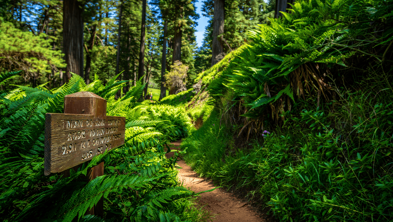
What was rebuilt
At the center of the rehabilitation is a new span that moves hikers off the streambed. The structure is a scenic, approximately 70‑foot pedestrian bridge crossing the Pfeiffer Redwood Creek ravine, designed to protect aquatic life and reduce visitor impact on the creek.
Other work focused on replacing hard, impermeable surfaces with softer, more natural trail tread. Sections of asphalt and concrete were removed and restored to a dirt trail to improve drainage, reduce erosion and better fit the surrounding redwood grove.
- Reopening date: June 18
- Trail layout: 0.75‑mile Pfeiffer Falls segment that completes a 1.5‑mile loop with Valley View Trail
- Key feature: 70‑foot pedestrian bridge over Pfeiffer Redwood Creek
- Restoration goals: protect streambed, enhance habitat, improve visitor views and access
- Partners: California State Parks, Save the Redwoods League, U.S. Forest Service
California State Parks’ Monterey district program manager, Jim Doran, described the route as a longtime Big Sur attraction and said the upgrades are intended to return the trail to everyday use while strengthening the area’s natural systems.
What visitors will see and learn
Along the route, newly installed interpretive panels explain the local redwood ecology, the Big Sur watershed and how the restoration work links state and federal land management. Hikers can expect improved sightlines to the ravine and waterfalls where the new bridge offers unobstructed views without stressing the stream below.
Beyond scenic payoff, the redesign aims for long‑term durability: softer trail surfaces help infiltrate water where it falls, and routing foot traffic across the bridge reduces sediment and vegetation damage in sensitive areas.
Nearby stops and context
Reopening the trail also reconnects visitors with other local attractions that benefit from renewed foot traffic, including a small cultural book venue tucked in the redwoods, cliff‑side hot springs, a coastal historic site, a famously photogenic beach and the broader Los Padres National Forest.
Restoration projects like this are part of a wider shift in California park management toward designs that balance recreation with wildfire recovery and climate resilience. For communities and businesses that depend on Big Sur tourism, reopening the trail means a modest boost in visitation after years of limited access.
Before you visit, check the latest park notices for parking information and any seasonal restrictions. The trail’s reopening on June 18 marks a tangible step in the long recovery from the 2008 fire and a demonstration of how targeted restoration can reopen public lands while strengthening their ecological function.
Similar Posts
- FEMA Explained: Discover How It Can Dramatically Benefit You!
- EPA turns down CARB’s proposal for out-of-state truck emissions testing: what it means for air quality
- North Coast 500: locals urge responsible travel as tourism soars
- Discover Hidden Gems: Top 10 Least-Visited US National Parks in 2022!
- Pekoe Trail Sri Lanka: what hikers need to know now

A globe-trotter and international trade enthusiast, Oliver explores the connection between business travel and trade opportunities.

